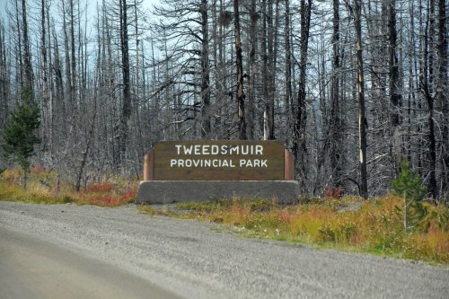
[September 15th]
Time to rise and shine, roll up our mattresses and head out into the northern reaches of Jasper National Park.
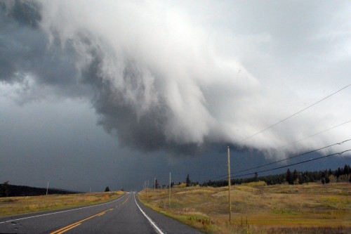
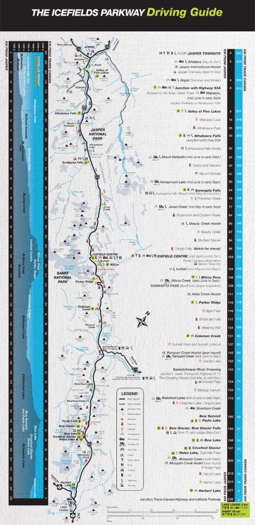
The drive to Maligne Lake, and especially the boat trip out onto the lake, was strongly recommended by our neighbouring campers back in Johnston Canyon Campground, but we have a long road ahead back down the Icefields Parkway to Yoho National Park, so time is not on our side. The boat trip will have to take a miss.
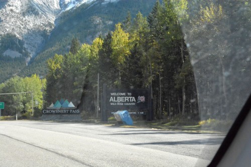
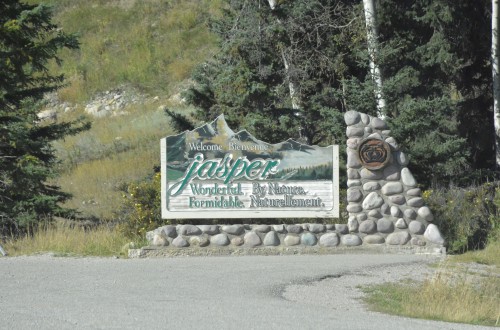
The town of Jasper welcomes us. We sail on by, turning down, not long after, to follow the Maligne River to the lake.
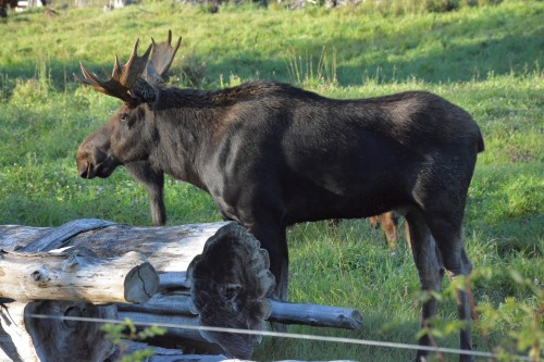
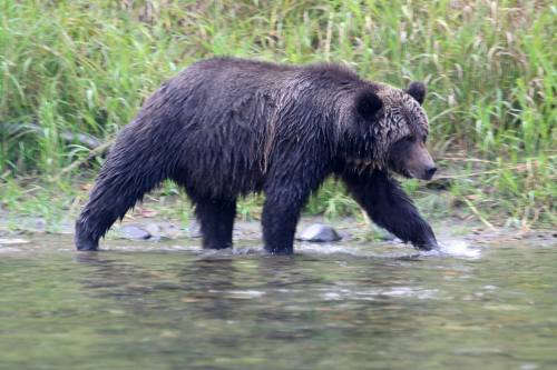
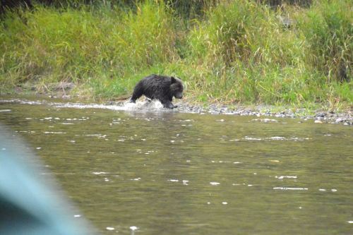
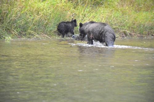
Where there is a gathering of cameras there must be something to see; sure enough, there he is, lounging in the long grass. The sun has barely seen the light of day; there is time a-plenty for grazing yet.

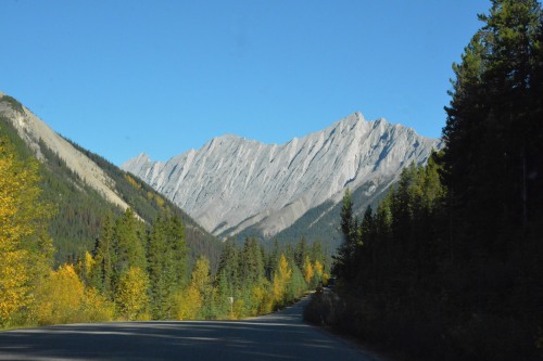
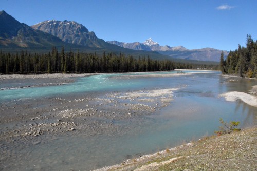
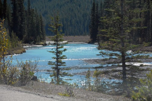
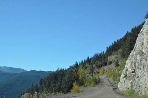
It is a beautiful 48km drive down to Maligne Lake from Jasper. About half way down we pass the most peculiar Medicine Lake, a lake with a river inflow, but no river outflow.
“Like drains in a giant bathtub, gravel-strewn openings in the floor of Medicine Lake allow its waters to escape underground. In summer, the sinks are under nearly 20m of water, while during the winter they lie at the bottom of small frozen ponds in the otherwise empty basin – rather humble beginnings for one of the greatest underground rivers in the world.” ~ taken off an information board on site
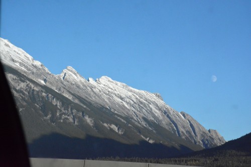
 Medicine Lake
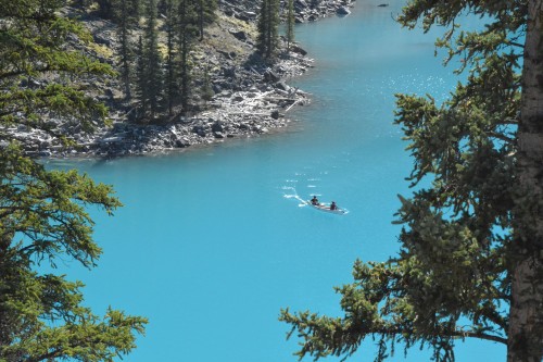
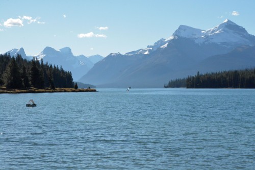
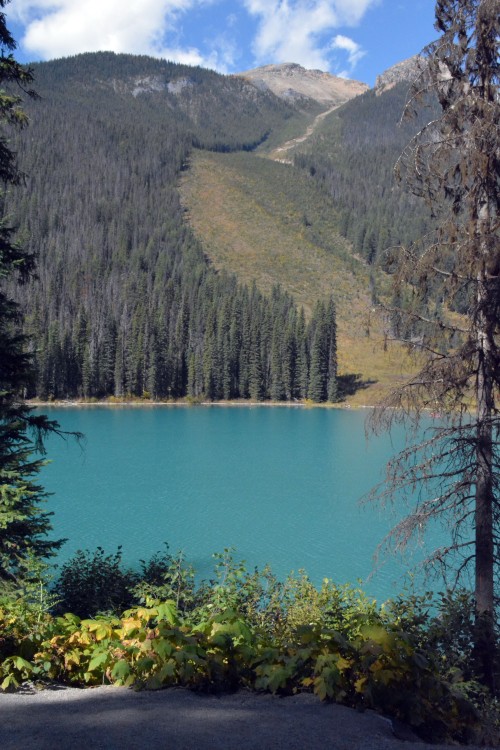
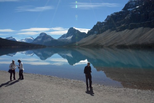
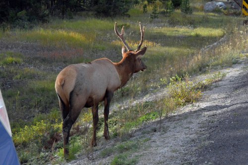
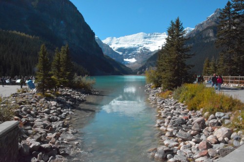
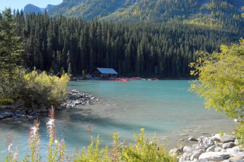
Maligne Lake… and we have been warned! Sadly not a moose in sight, however.

We watch longingly as the boats chug out and disappear onto the nearly 28kms of water from end to end. Reaching a depth of 96m, this is the largest lake in the Canadian Rockies.
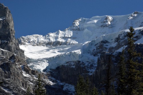
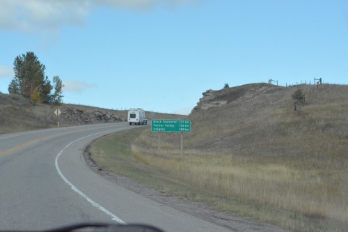
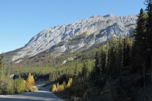
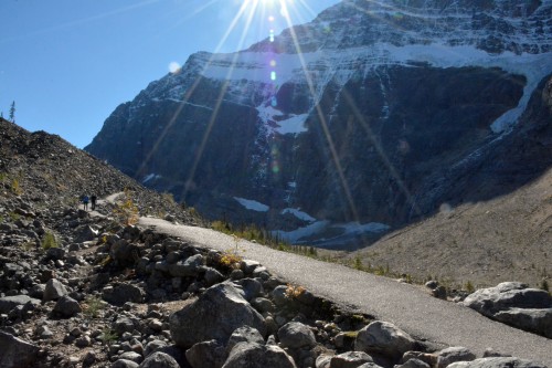
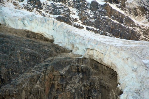
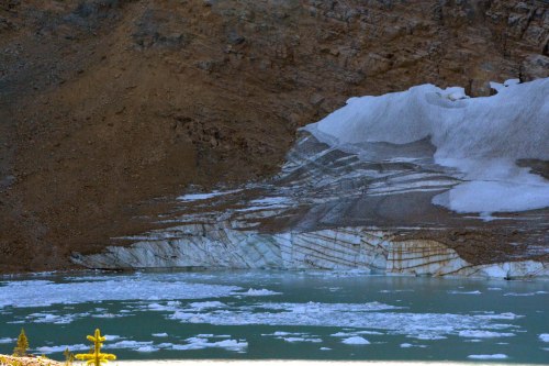
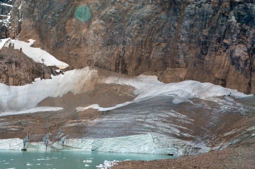
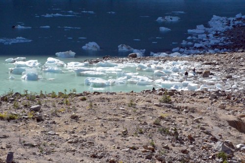
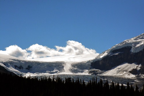
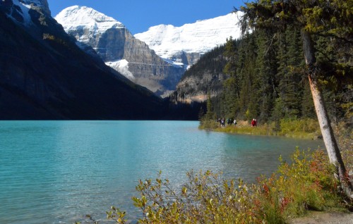
There is some exploring to do around the lake before we head on out again, back through Jasper, branching off onto Parkway 93A, an alternate route following the old highway just 7km from Jasper. The Mt Edith Cavell road branches off this road and we are especially keen to find Cavell Pond and the Angel Glacier.


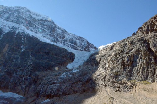
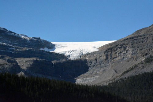
“Angel Glacier forms in a large bowl, or cirque, largely hidden from view. Very slowly, it flows out of the cirque towards you. Some ice breaks over the vertical cliffs, forming the angel’s 40m thick wings; the remainder plunges down a steep gully, forming the body. This constant movement of the glacier sometimes causes an ice avalanche, so it is dangerous to climb beneath this hanging glacier” ~ taken from an info board on site.

It is time to move on again, bumping into another bunch of cameras, this time treated to our first sighting of fluffy mountain goats.
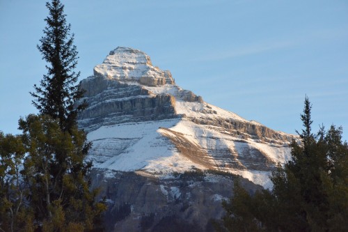
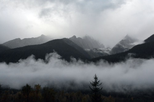
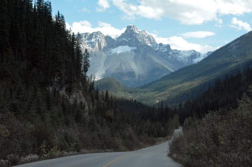
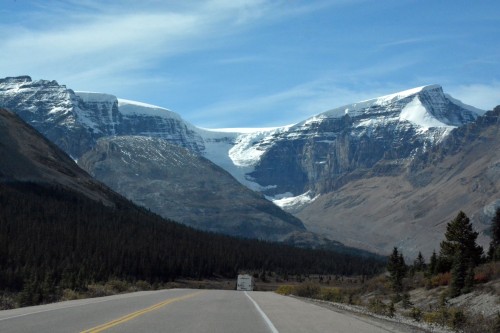
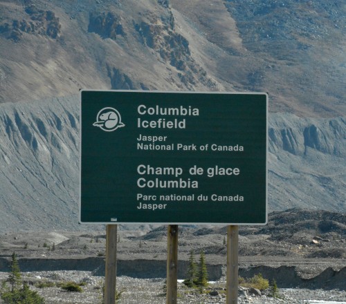
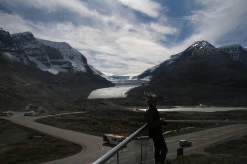
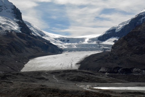
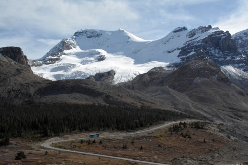
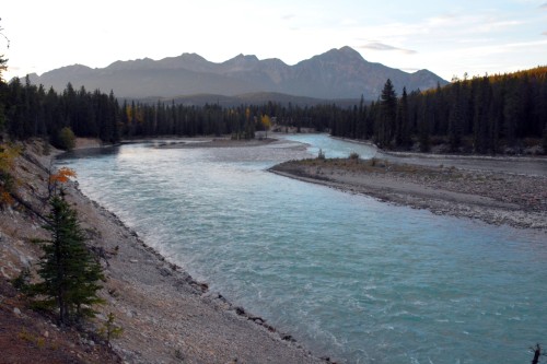
And then back past spectacular ice blue rivers and the Icefield.


It is at about this point that we start to reflect on the days ahead. It is Hugo that first realizes that dates are not tying up… my, by now, very confused head finally figures out that I had somehow neglected to remember that I had allocated 2 nights at Wapita Campground. The silence is deafening. There is no way to describe the feeling of loss, of having missed out on that which we will most probably never see again. There is no going back. I pray that our now two nights at Yoho National Park will compensate.
It doesn’t start off well…

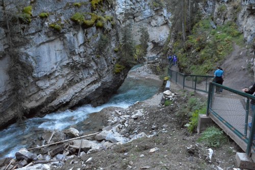
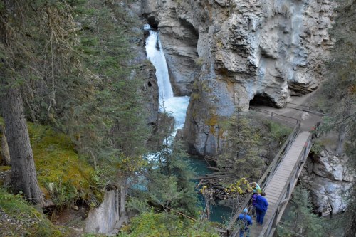
The Spiral Tunnels can be found en route to the campground. They did little at the time to lift our spirits (fortunately we spent a good chunk of time there making memories to enjoy later).
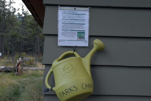
Parks Canada does an excellent job of relating the fascinating story of the tunnels:
Spiral Tunnels
Background
When British Columbia joined Confederation in 1871, it was on the condition that Prime Minister John A. Macdonald would build a railway to link the province to the rest of the country. Building a railway across such a large continent was a major undertaking and one of the most serious obstacles was the Rocky Mountains. Several passes were considered for the route and despite its rugged terrain, Kicking Horse Pass was chosen because of its proximity to the US border and its shorter distance to the Pacific Coast. This choice was so significant to the history of Canada that Kicking Horse Pass was designated as a National Historic Site in 1971.
The steep grade in Kicking Horse Pass posed a serious challenge. Under government pressure to complete the railway, and given the engineering challenges that came along with the geography, Canadian Pacific was not in a position to carve a gradual descent. A solution was reached, which temporarily allowed a grade of 4.5%. The first train to attempt the hill in 1884 derailed, tragically killing three workers. In an effort to improve safety, three spur lines were created to divert such runaway trains on what became known as the “Big Hill”. Switches were left set for the spurs and were not reset to the main line until switchmen knew the oncoming train was in control. Descending the Big Hill was challenging, but uphill trains had their problems too. Extra locomotives were needed to push the trains up the hill, causing delays and requiring extra workers. Although the mountains were a complication for CP, they were an inspiration to the many tourists who started to arrive by train. In an effort to preserve the landscape and encourage tourism, CP prompted the creation of Mount Stephen Dominion Reserve in 1886. The park was renamed Yoho in 1901.
Schwitzer’s Solution
The solution for a more gradual grade came from J.E.Schwitzer, one of the railway’s Assistant Chief Engineers. He modeled the Spiral Tunnels after a system used in Switzerland. In 1909 the Spiral Tunnels were completed and after 25 years of use, the Big Hill grade was abandoned. With a gentler grade, descents became safer and slower, spur lines and rear pushers were no longer necessary, and scheduling delays and operating costs were reduced. Although the Spiral Tunnels were a great improvement for the grade, rockfall, mudslides and avalanches are some of the challenges we still face today in this area where nature reigns supreme.
How the Spiral Tunnels Work
An eastbound train leaving Field climbs a moderate hill, goes through two short, straight tunnels on Mt. Stephen, under the Trans-Canada Highway, across the Kicking Horse River and into the Lower Spiral Tunnel in Mt. Ogden [1]. It spirals to the left up inside the mountain for 891-m and emerges 15-m higher [2]. The train then crosses back over the Kicking Horse River [3][see illustrations below for text in bold], under the highway a second time and into the 991-m tunnel in Cathedral Mountain. The train spirals to the right, emerging 17-m higher and continues to the top of Kicking Horse Pass.
See Them for Yourself
There are two viewpoints where you can safely watch trains and learn more about the Spiral Tunnels and Kicking Horse Pass National Historic Site of Canada. On average, 25 to 30 trains pass through the Spiral Tunnels daily, though not on a regular schedule.
~ taken from Parks Canada


the train emerging from the Mt Ogden tunnel
We are lucky enough to bump into a 2nd train as it arrives, in so doing seeing 3 pieces of the same train (up to 1000m long) in 3 different positions.
With the highway at our backs, the train, going east, has crossed under the highway, has crossed the river and [1] is still entering the tunnel [2] it is still emerging from the tunnel 15m higher and [3] is passing right below where we are standing, back towards crossing under the highway.

And then…
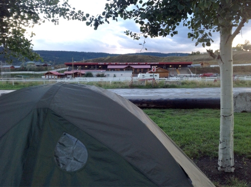
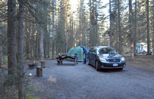
The campground is full!
And there is only one campground open at this time of the year!
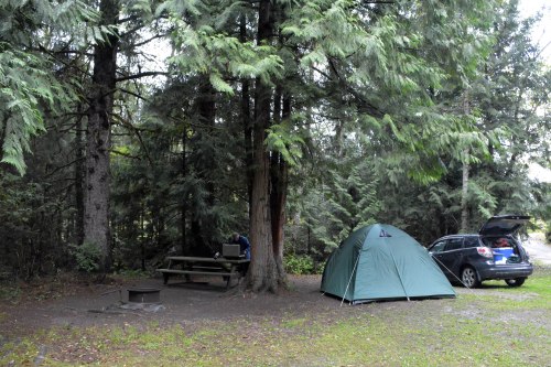
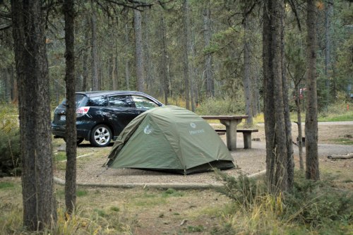
There is, however, still a bare piece of grass available in the overflow area for campervans. It is close to gate closing time. I guess they don’t expect many more campervans; they let us set up camp there.
The setting is spectacular!


But first fuel and food…
I have earmarked only one eating place for the whole trip, and it is in the little town of Field in the Yoho National Park… tomorrow…
Thought for the day:
WANTING TO BE RIGHT
“We feel that we have to be right so that we can feel good. We don’t want to be wrong because then we’ll feel bad. But we could be more compassionate toward all these parts of ourselves. The whole right and wrong business closes us down and makes our world smaller. Wanting situations and relationships to be solid, permanent, and graspable obscures the pith of the matter, which is that things are fundamentally groundless.”
(When Things Fall Apart) ) Pema Chodron


 taken from
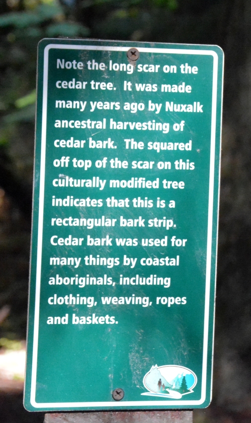
  The inscription on the brass plate on the stone reads:


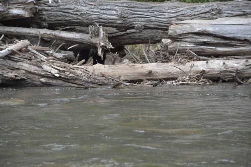


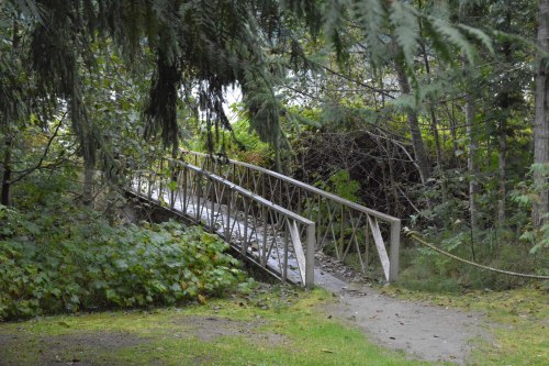


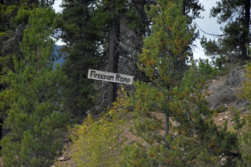
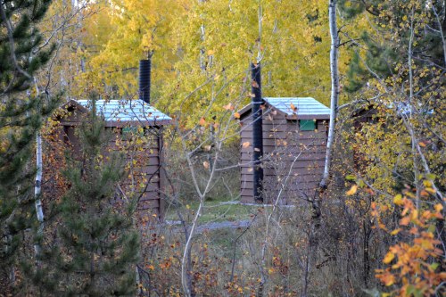
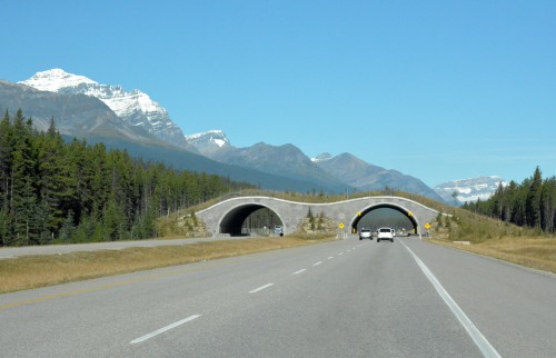 animal bridge of which there were several


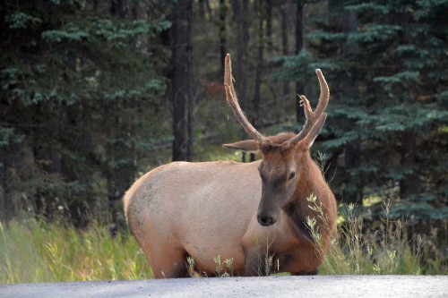
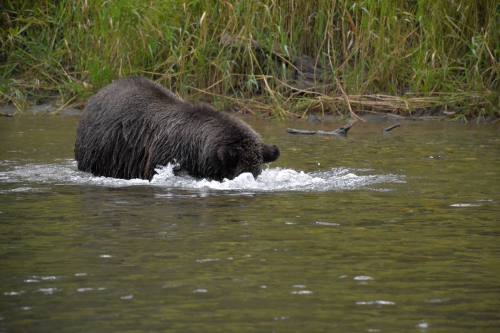
 There were no females in sight and we did keep our distance… I’m sure it was 30meters.


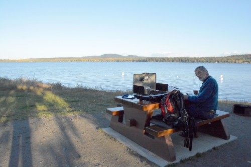
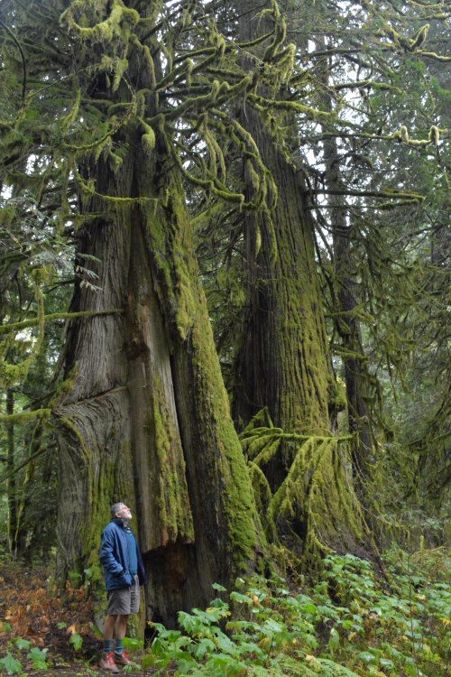
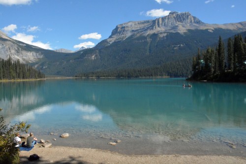
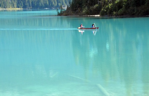
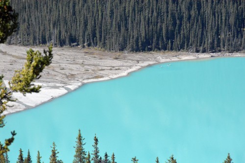
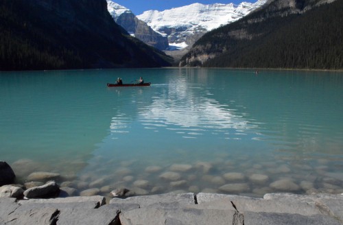
 the 2 km stroll around the lake


 [photo by Hugo]